Service
GIS & Environmental Monitoring
Measured evidence, mapped and continuously tracked.
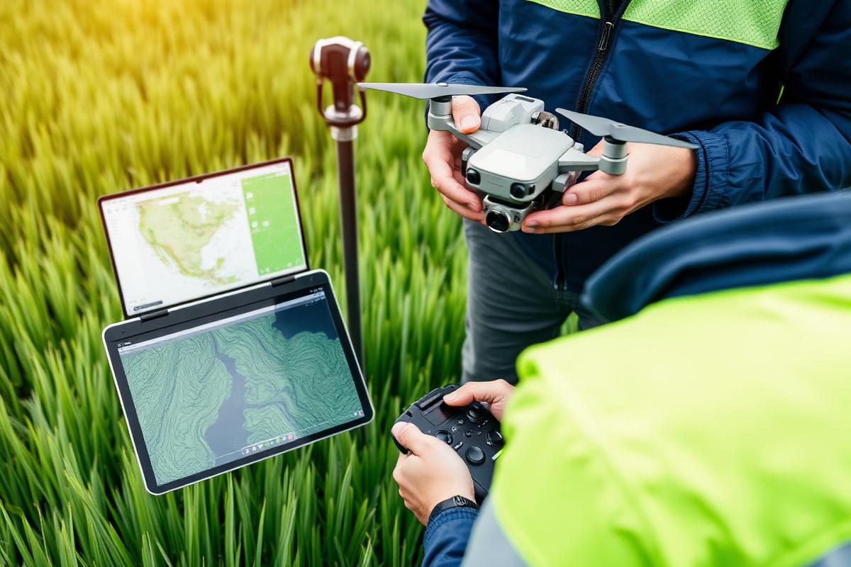
Air, water, soil and noise monitoring programmes combined with drone survey and spatial analysis, delivered as dashboards your team and your regulator can both read.
Benefits
- Ambient air, noise and water monitoring
- Drone survey and terrain modelling
- Spatial analysis and sensitivity mapping
- Live compliance dashboards
How we deliver it
- 01Monitoring planSet parameters, locations and frequency against licence conditions.
- 02Field campaignsAccredited sampling with chain-of-custody laboratory analysis.
- 03Spatial analysisDrone survey, geodatabase build and sensitivity mapping.
- 04ReportingTrend and exceedance reporting through a live dashboard.
Frequently asked questions
Have a project that needs environmental clearance?
Send us the scope and location and we will come back with the regulatory pathway, indicative programme and fee — usually within three working days.